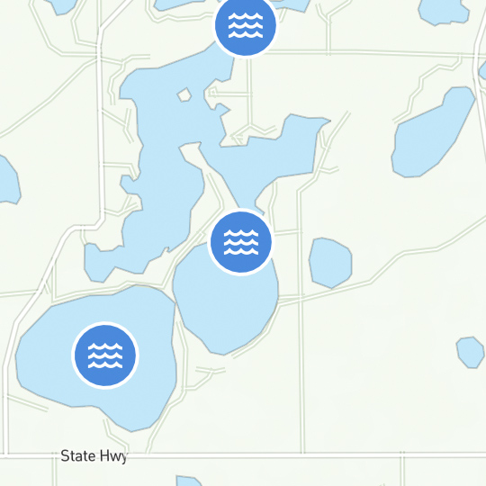
Nautical Charts
A nautical chart allows you to compare what you are seeing with what you should be seeing on the water and can help you keep your bearings.
Nautical charts are different from maps in that they specifically depict water areas, while maps concentrate on land area, roads, landmarks, etc. Land areas and features on nautical charts are sketchy and are noted only for their interest to the boater. A nautical chart conveys more information specifically designed to assist in safely navigating the area that the chart covers.
The National Oceanic and Atmospheric Administration (NOAA) is the agency that maintains the nation’s nautical charts and publications for U.S coasts and the Great Lakes. For detailed nautical and marine information visit NOAA Nautical Charts for real-time navigation charts and directions.
How to Read Nautical Charts:
- Study your chart thoroughly.
- Look at the position from which you will start and visually follow along the course you want to take.
- Look for visual cues especially under water including water depths, and obstructions. Bridges, power lines or any other unusual items that may be a hazard to your progress.
- Make a note of each of these on a separate piece of paper.
- Make note of all buoys and markers you may pass in the order they will appear. This will give you a documented picture of your route and what you should expect to see without having to try to find a small marker on the chart.
- Look for visual objects featured on your chart that you should be able to observe and identify to confirm your position.
- Always check the weather before departing.
Visit our next section to learn more about your boating responsibilities.
KEEP LEARNING
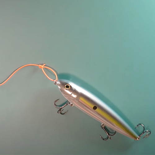
How to Tie the Non-Slip Loop Knot
The non-slip loop knot is a popular and reliable choice for securing hooks, lures, and other tackle to your fishing line.
LEARN MORE
Socials
Take me fishing social media links
LEARN MORE
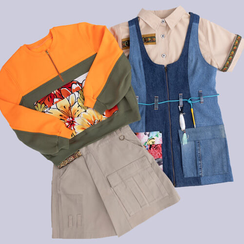
TakeMeFishing x Teen Vogue
Join us on a creative journey as fashion designer Ahmrii Johnson walks us through her collaborative vision and process with Teen Vogue and fashion brand, Rentrayage, to create a special piece.
LEARN MORE
.png?lang=en-US&ext=.png)